Catch Dam Fish
HomeAll LakesWho's FishingStreamflow
  1. Home
  2. /
  3. Texas State Parks

Texas state parks — day passes, maps & trail maps

Free directory of 87 Texas state parks, natural areas, and historic sites. Check day pass and ticket availability (Save-the-Day vehicle passes), browse an interactive statewide map with photos, and open official TPWD park and trails maps. Explore summer trip ideas for camping, hiking, fishing, and paddling.

Live map example

Eisenhower State Park

Try an interactive park map with trails, buildings, and Locate me — same experience you'll find on every park page. Open the full-page map on your phone while you walk.

Open full pagePark page
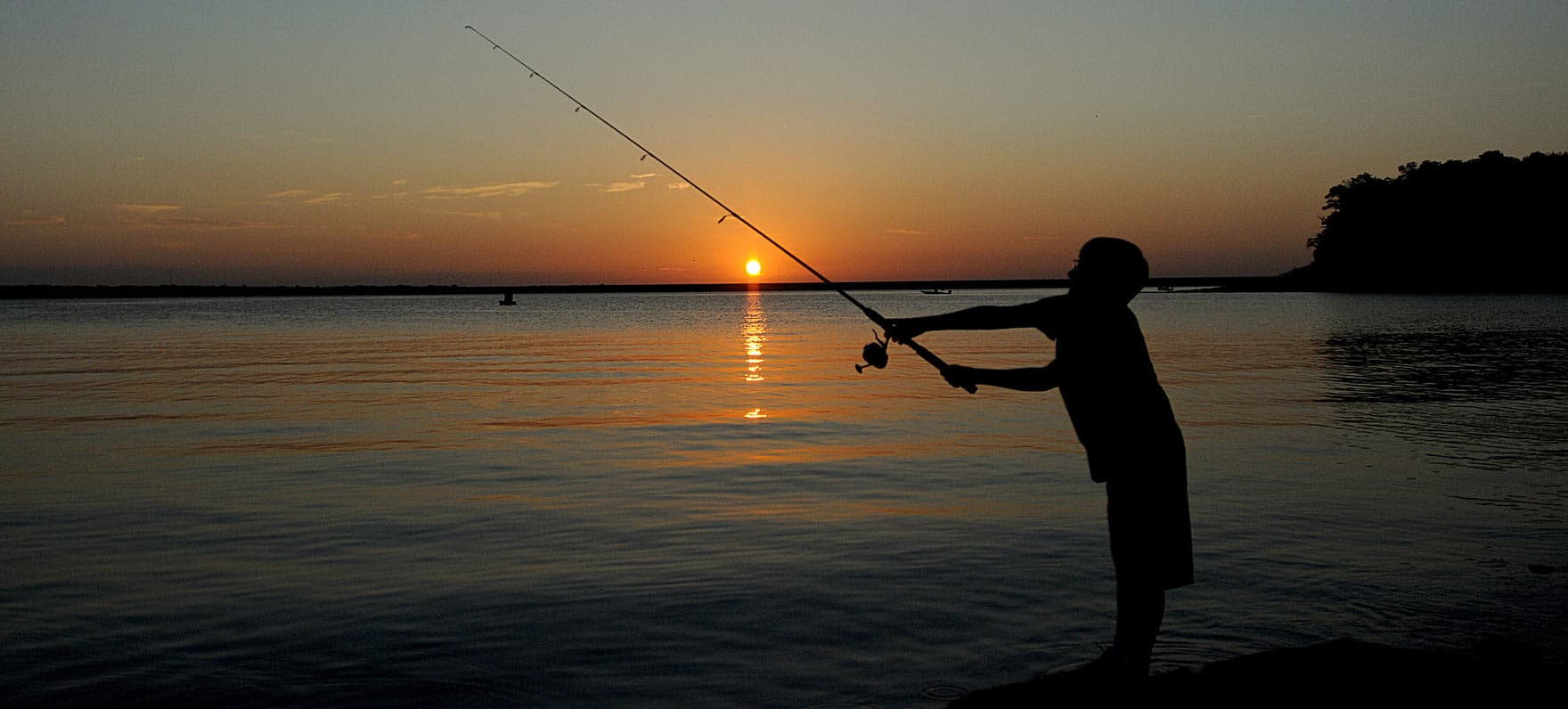
Silhouette of Boy Fishing at Eisenhower

Recommended this season

Best in Summer

Cool off at spring-fed pools, Gulf beaches, and big reservoirs built for boating and fishing.

Snorkeling at Balmorhea SPSummer
Balmorhea

Spring-fed pool stays cool — one of the best summer swims in Texas.

View park maps →
couple walking in water alone shoreSummer
Mustang Island

Gulf beach camping, surf fishing, and coastal breezes.

View park maps →
Kayaking at Galveston IslandSummer
Galveston Island

Beach access, paddling, and family-friendly shore fishing.

View park maps →
View of Sunset by TreeSummer
Lake Whitney

Boating, cliff views, and bass fishing on a large central-Texas lake.

View park maps →
sunset at Ray RobertsSummer
Ray Roberts Lake

North Texas reservoir with marinas, coves, and summer bass patterns.

View park maps →
People on TopSummer
Hueco Tanks

Early-morning bouldering and shaded rock shelters beat the afternoon heat.

View park maps →

Loading today's day pass counts for the map…

Showing 87 of 87 (87 on map). All 87 parks have map coordinates.

All Texas state parks & sites (87)

Alphabetical index of Texas state parks, natural areas, recreation areas, and historic sites with day pass availability, Save-the-Day tickets, and TPWD park and trail maps. Use the map above or open a park to check pass counts and official PDF maps.

  • Abilene(State Park)
  • Atlanta(State Park)
  • Balmorhea(State Park)
  • Barton Warnock Visitor Center(State Park)
  • Bastrop(State Park)
  • Bear Creek(State Park)
  • Big Bend Ranch(State Park)
  • Big Spring(State Park)
  • Blanco(State Park)
  • Bonham(State Park)
  • Brazos Bend(State Park)
  • Buescher(State Park)
  • Caddo Lake(State Park)
  • Caprock Canyons(State Park)
  • Cedar Hill(State Park)
  • Chinati Mountains(State Park)
  • Choke Canyon(State Park)
  • Cleburne(State Park)
  • Colorado Bend(State Park)
  • Copper Breaks(State Park)
  • Daingerfield(State Park)
  • Davis Mountains(State Park)
  • Devil's Sinkhole(State Natural Area)
  • Devils River(State Natural Area)
  • Dinosaur Valley(State Park)
  • Eisenhower(State Park)
  • Enchanted Rock(State Natural Area)
  • Falcon(State Park)
  • Fort Boggy(State Park)
  • Fort Leaton(State Historic Site)
  • Fort Parker(State Park)
  • Fort Richardson(State Park)
  • Franklin Mountains(State Park)
  • Galveston Island(State Park)
  • Garner(State Park)
  • Goliad(State Park)
  • Goose Island(State Park)
  • Government Canyon(State Natural Area)
  • Guadalupe River(State Park)
  • Hill Country(State Natural Area)
  • Honey Creek(State Natural Area)
  • Hueco Tanks(State Historic Site)
  • Huntsville(State Park)
  • Indian Lodge(State Park)
  • Inks Lake(State Park)
  • Kickapoo Cavern(State Park)
  • Lake Arrowhead(State Park)
  • Lake Bob Sandlin(State Park)
  • Lake Brownwood(State Park)
  • Lake Casa Blanca International(State Park)
  • Lake Colorado City(State Park)
  • Lake Corpus Christi(State Park)
  • Lake Livingston(State Park)
  • Lake Mineral Wells(State Park)
  • Lake Somerville(State Park)
  • Lake Tawakoni(State Park)
  • Lake Whitney(State Park)
  • Lockhart(State Park)
  • Longhorn Cavern(State Park)
  • Lost Maples(State Park)
  • Lyndon B. Johnson(State Park)
  • Martin Creek Lake(State Park)
  • Martin Dies, Jr.(State Park)
  • McKinney Falls(State Park)
  • Meridian(State Park)
  • Mission Tejas(State Park)
  • Monahans Sandhills(State Park)
  • Mother Neff(State Park)
  • Mustang Island(State Park)
  • Old Tunnel(State Park)
  • Palmetto(State Park)
  • Palo Duro Canyon(State Park)
  • Palo Pinto Mountains(State Park)
  • Pedernales Falls(State Park)
  • Possum Kingdom(State Park)
  • Post Oak Ridge(State Park)
  • Powderhorn(State Park)
  • Purtis Creek(State Park)
  • Ray Roberts Lake(State Park)
  • San Angelo(State Park)
  • Sea Rim(State Park)
  • Seminole Canyon(State Historic Site)
  • Sheldon Lake(State Park)
  • South Llano River(State Park)
  • Stephen F. Austin(State Park)
  • Tyler(State Park)
  • Village Creek(State Park)
Catch Dam Fish

Live water data for anglers. Track releases, read the flow, and see Who's Fishing near you.

Explore

  • Home
  • All Lakes
  • Streamflow Map
  • Texas State Parks

Fishing

  • Fishing Report
  • Who's Fishing
  • Fish Stocking
  • Boat Ramps
  • Regulation
  • Fishing License

More

  • Pricing
  • Blog
  • Contact

Account

  • Sign in
  • Dashboard
  • Privacy Policy

Status

All systems operational

Monitoring 2,400+ dams across the U.S.

© 2026 Catch Dam Fish